Hiking changes dramatically north and south of Coos Bay. To the north are the Oregon Dunes with their miles of sand hiking. The Oregon Coast Trail generally hugs the shoreline in this area, then moves inland to cross the bridge into Coos Bay.
In the dunes, there are three day-hiking trails: The John Dellenback Trail, Bluebill Lake Trail, and the North Split Hike.
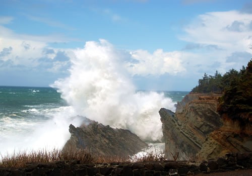
To the south, the shoreline changes dramatically as cliffs rise and the dunes disappear. The most scenic hiking is west of Charleston, through Sunset Bay State Park, Shore Acres and Cape Arago State Parks. This is not technically part of the Coast Trail as it is a dead end. The Coast Trail heads inland and does not return to the shoreline until further south in the Seven Devils State Recreation area and onto Bullards Beach State Park, just north of Bandon.
Oregon Coast Trail – Coos Bay to Bandon Hiking

On completing the hike across the Conde B. McCullough Memorial Bridge, over the bay, the hiker will be entering into the largest area of the coast, the North Bend – Coos Bay metropolitan area. This is a great chance for the hiker to stock up on supplies, and perhaps relax in a local hotel before continuing on the trip. If you are hoping to camp for the night, you will need to get all the way beyond Charleston to Sunset Bay State Park, which is 11 to 12 miles.

Hike along US Route 101, and turn right on seeing signs for “State Parks and Charleston” turn right on Virginia Avenue. The map has hikers turning from Virginia Avenue to Cape Arago Highway which is a good automobile route. If a hiker wants to see all the shopping centers, this is the way to go. But for a more scenic route, turn off Virginia Avenue onto Lakeshore Drive and follow it as it meanders around Empire Lakes. Continue west and follow Lakeshore as it becomes North Wasson Street. Follow to Newmarket, turn right (west) to Cape Arago Highway. Follow Cape Arago Highway out to Charleston and Sunset Bay State Park.
The highlight of this part of the hike are the parks out beyond Charleston. Plan on spending some time out there camping and sightseeing. There is some swimming available in sheltered Sunset Bay.
From the Sunset Bay area, it is necessary to backtrack towards Charleston. Just prior to entering Charleston, turn right onto Seven Devils Road. After about 6 miles, Seven Devils Road turns to gravel at the intersection of West Beaver Hill Road. Follow Seven Devils to Seven Devils State Recreation Site. There is no official camping available at this park.
Continue to hike on the beach which is passable at low tide during the summer.
There are two alternatives: a 2.5 mile hike around Five Mile Point to Whiskey Run beach access or, continue on Seven Devils Road out to US Route 101. The last camping area on this portion is just north of Bandon at Bullards Beach State Park. There are not any tent camping sites in Bandon.
Once at Bullards Beach State Park, follow the trail to US Route 101. Cross the Coquille River Bridge into Bandon. Note that this bridge was not designed for hikers in mind. There is no sidewalk and crossing can be hazardous.
Once safely across, turn right on Riverside Drive and follow that along the Bandon Marsh Wildlife Refuge into Bandon Old Town.
Download a PDF of this trip.
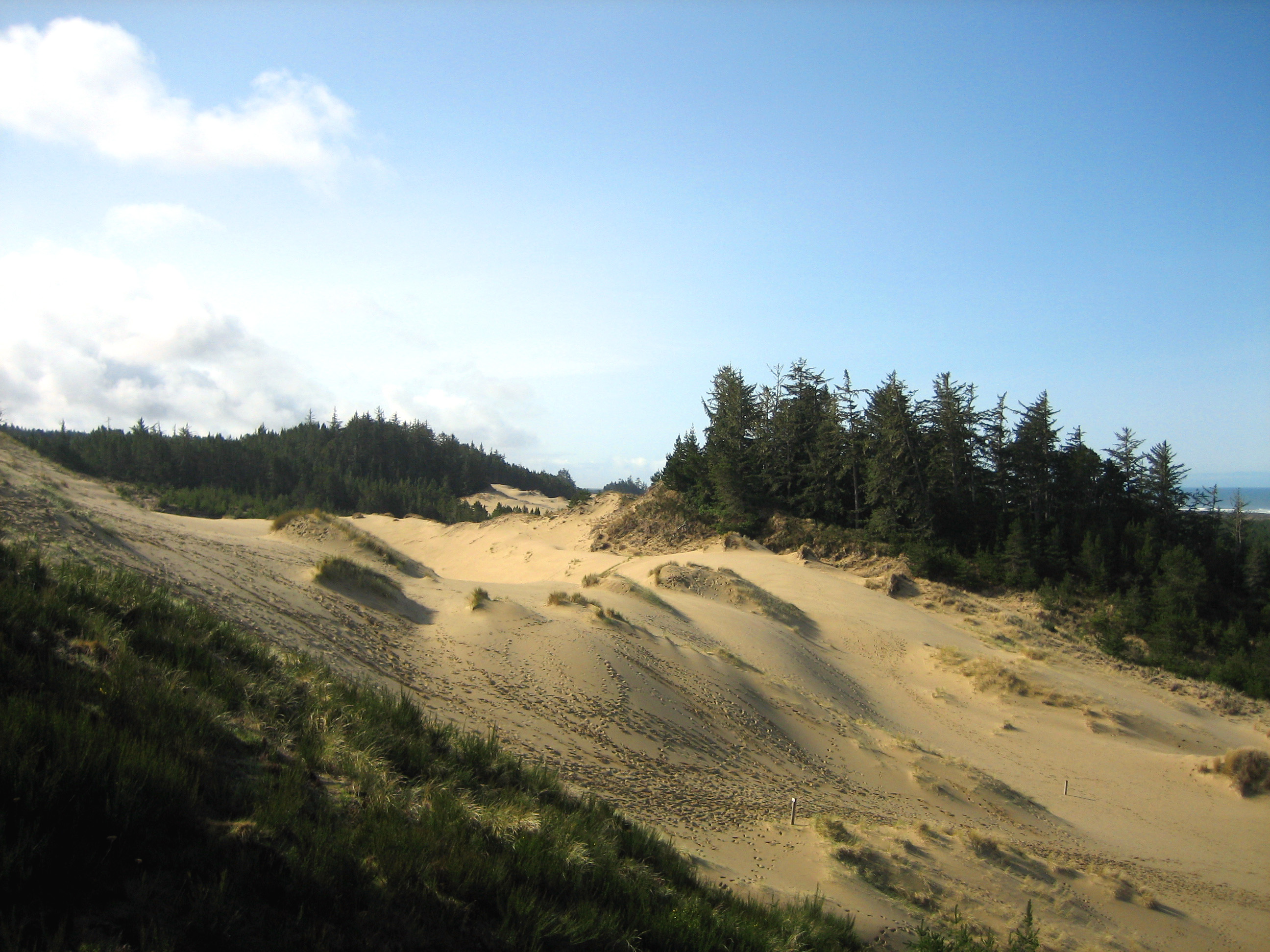
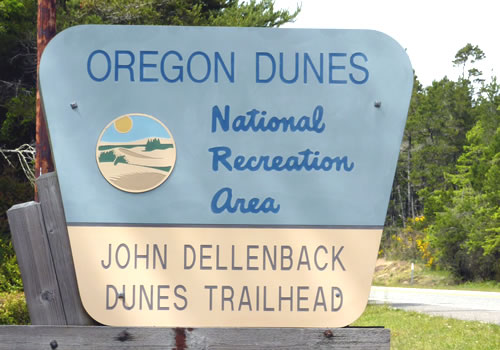
The John Dellenback Trail
 The John Dellenback Trail is a 5-mile round trip hike, starting at route 101, that climbs the dunes to the sea. The elevation climbs from 100 to 1500 feet. The hike starts out easy enough, with a short trip that travels through the edge of Eel Creek Campground. Then the challenge begins as the “trail” crosses the wide open dunes where the markings are just a few well spaced wooden posts. Hikers need to be careful to keep the posts in mind in order to find their way back to the trailhead. It is best hiked earlier in the morning before the winds pick up.
The trailhead is located near Lakeside, just south of mile marker 222 on Route 101 in the heart of the Oregon Dunes National Recreation Area.
North Split Hike – Coos Bay
The North Split Hike is a four mile trail across the dunes, then along the beach. The trail is open to ATV’s and four-wheel drive vehicles except during Snowy Plover season (which is usually March 15 to September 15). The wreck of the New Carissa was a major attraction to the area, but it was removed in 2008. But even without the attraction of the wreck, the hike or drive reveals the beauty of thedunes and the ocean.
To get there, turn west off of Route 101 at the Horsfall Dunes and Beach road sign at Jordan Cove Road. After crossing the train tracks, veer left on the Trans Pacific Lane. Continue about 4 miles to the parking area on the right.
The North Split Hike is just north of Coos Bay.
Bluebill Lake Trail Hike
 Bluebill Lake Trail is an easy 1 & 1/4 mile hike around Bluebill Lake. The forty-acre lake is dry much of the year, but the hike offers ample opportunities to view wetland habitat. The hike is located next to Bluebill Campground.
Directions: From Coos Bay / North Bend, proceed north on route 101 for 1.5 miles. From Reedsport, proceed south for 22 miles. Turn west at the Horsfall Dunes and Beach road sign at Jordan Cove Road and proceed 1 mile, turning right on Transpacific Highway. Travel 100 feet, turning right on Horsfall Beach Road. Travel 1 & 1/2 miles down Horsfall Beach Road to a left turn.
Sunset Bay Cape Arago Trail
Sunset Bay State Park offers extensive picnic and overnight camping. Located in one of the most scenic areas of the coast, this park features wide sandy beaches and ocean views. Tide pooling at low tide reveals the secrets of the Pacific Ocean.
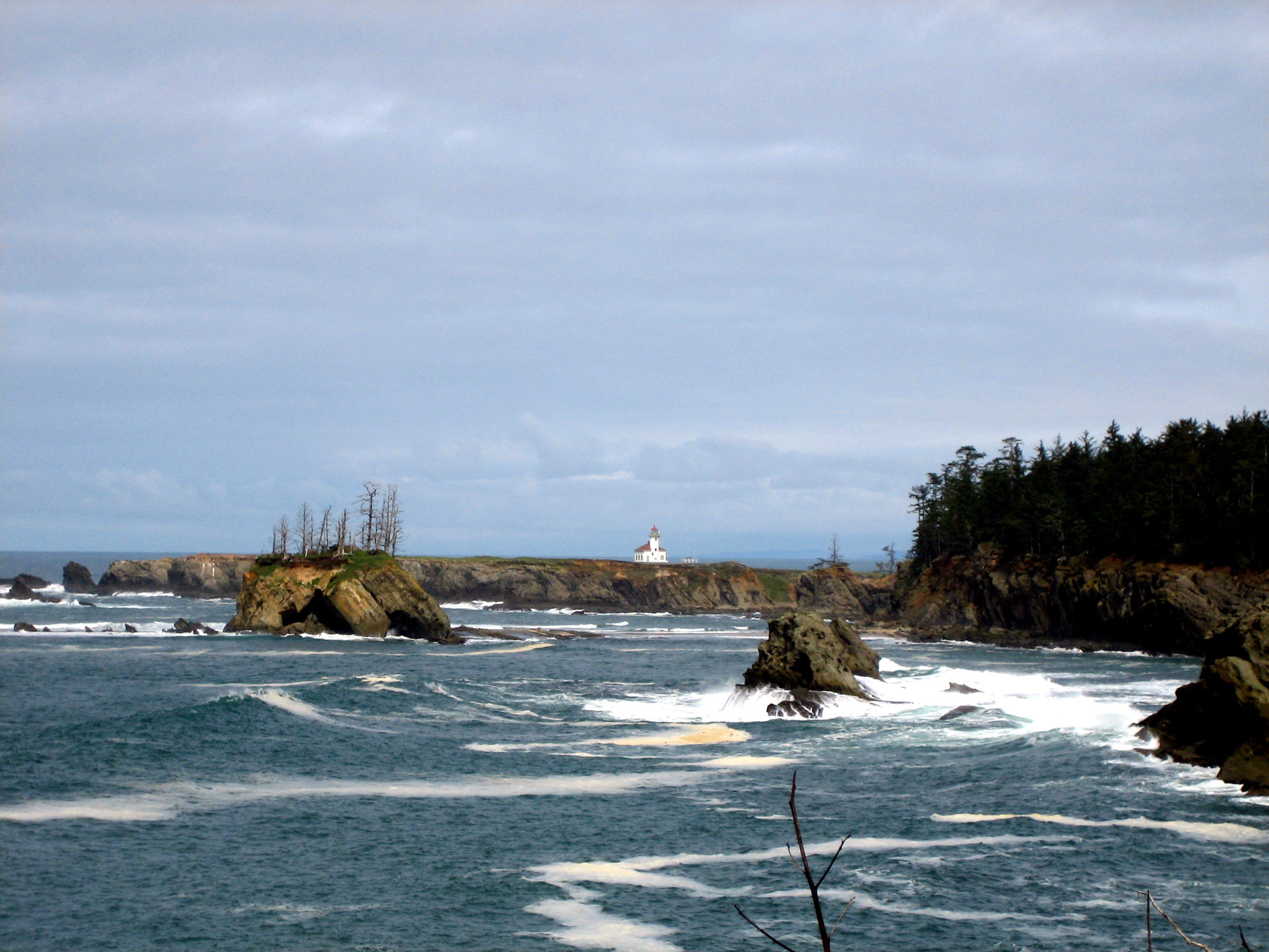
Sunset Bay State Park is connected to the nearby Shore Acres and Cape Arago State Parks by a series of hiking trails including the Sunset Bay Cape Arago Trail. This trail loops around the cap and covers about 8.9 miles, although it is possible to shorten the trip. The trails travel along the pristine coastal forests and towering cliffs, through Shore Acres State Park, to viewing points of sea lions near Cape Arago, plus ocean views and sights of the Cape Arago Lighthouse.
Winchester Trail System
The Winchester Trail System was originally envisioned as a 30 mile system of trails for use by hikers, equestrians and off road ATV’s. However, today, the system is limited to 17 miles and is used mostly by mountain bikers and Class III ATVs (off road motorcycles). It is generally not a good trail system for hikers.