Craigs Creek Trail
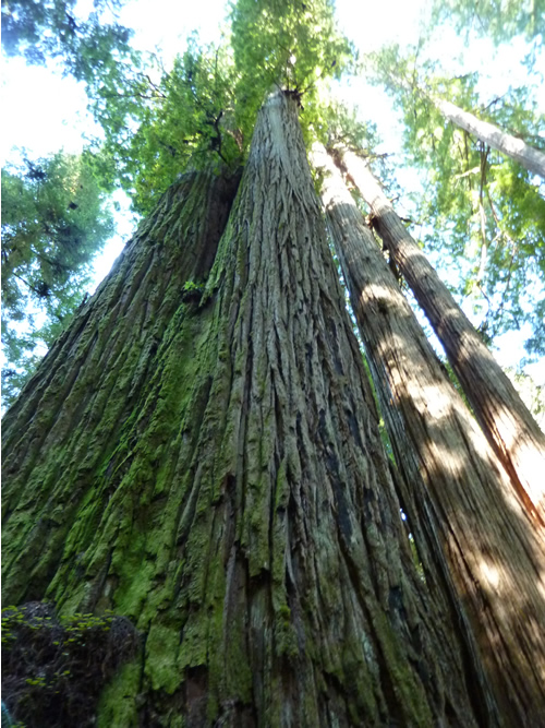
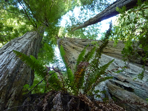
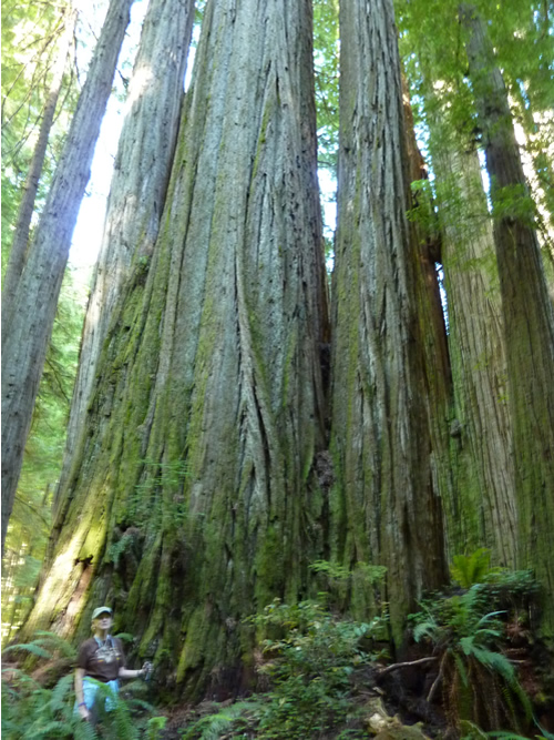
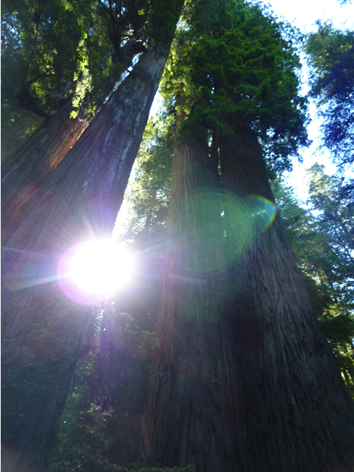
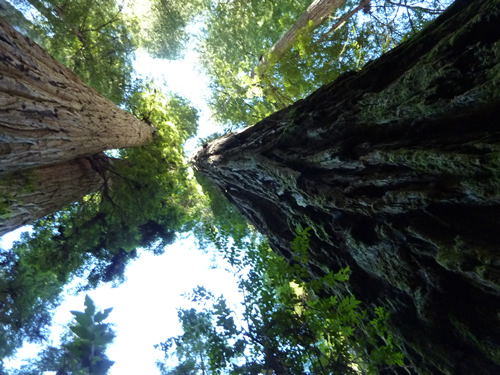
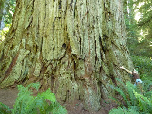
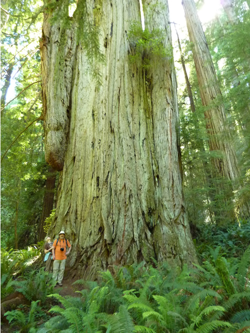
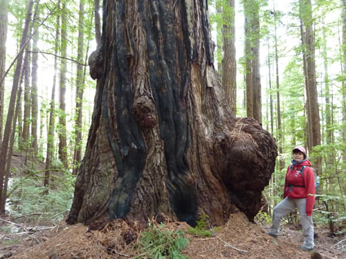
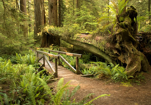
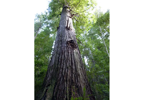
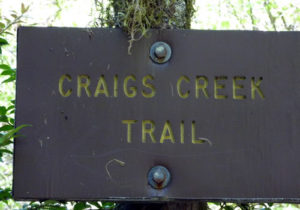 Craigs Creek Trail (1E02) is located just west of Jedediah Smith Redwood State Park, near Crescent City, Del Norte County, California. The trail is outside of the park, but includes several examples of the giant California redwoods on the trail.
The trail is a 6-mile (each way) hike along the South Fork of the Smith River, then down along Craigs Creek. The first 2 miles of the hike is moderately steep. The trail then is fairly flat and forms a switchback downhill to follow the edge of Craigs Creek. The trail appears to end where Craigs Creek meets the Smith River. There is a small unofficial camping spot and a small beach along the river. Of particular interest is the rusted out machinery long ago used for mining operations. The trail was used to carry supplies for the miners.
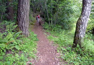 Expect to take between 3 – 5 hours for the round trip. There is a fair amount of poison oak, but the trail is wide enough for the experienced hiker to avoid. The poison oak is, however, the perfect height for smaller children.
This trail is located near, but outside of, the Jedediah Smith Redwood State Park and is therefore not subject to park regulations. For those traveling with dogs, this is a perfect hike to take them on, with a place to swim at the end.
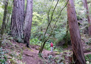 To reach the trail head, travel east on US 199 from US 101, though the small village of Hiouchi. The next right is county road 427 (South Fork Road or Howland Hill Scenic Loop drive) and the access to Douglas Park Drive. Cross the first bridge. Do not cross the second bridge (South Fork). On the right, at the foot of the second bridge is a small parking area. On the left is the trail head. Note: on the downloadable GPX and KML files, the trail head is indicated to be on the other side (south) of the bridge. This is inaccurate. The trail head is on the north side of the bridge. Other than the initial reading, these GPS files are fairly accurate.
Downloadable GPX file fpr use in your GPS. A KMZ file for use in Google Earth.
Elk Camp Ridge Trail
 The Elk Camp Ridge Trail is a moderate to steep climb of about 2500 feet (760 m). The lower trail head starts at an elevation of 2100 feet (640 m) and rises high up above the north and middle forks of the Smith River. There are several excellent views of the valley and the mountains. Vegetation is stunted because of the soil conditions (high mineral content and rock content) and that facilitates the long distance views. The first portion of the hike travels through woods that were affected by the Panther Fire (1996).
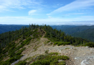 The trail was originally a pack train trail between Crescent City and the Oregon gold mines in the Illinois Valley.
The roads leading to the trail head are steep and not well maintained. Access using a 4-wheel vehicle with higher clearance (Honda CR-V should be able to make it) is recommended. Access is 0.1 mile east of the Smith River NRA Visitor Center. Turn right at Gasquet Flat Road and cross the bridge. Stay left past Azalea Lane. At the top of the hill, turn right at the Gasquet Toll Road intersection. Follow the old Gasquet Toll Road for 2.4 miles to FS 18N10. Turn left on 18N10 and travel 1.4 miles to the trailhead.
Download a KML file for view in Google Earth. Download a GPX file for use in your GPS.
Tolowa Dunes
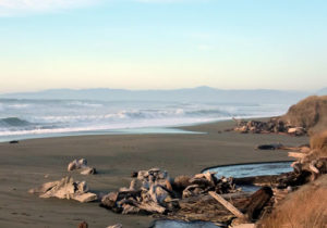 Tolowa Dunes are located a short distance north of Crescent City. The hike involves treking in through the woods, around near Dead Lake and out to the beach. In addition to the scenery, birding is great here.
Download a kmz of this hike, for use in Google Earth.
California Coastal Trail
The California Coastal Trail continues south from Oregon into Del Norte County and travels along the coast through Crescent City and continues onto Klamath River.
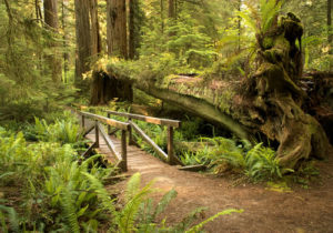 There are flat beaches, forested sand dunes and redwoods. The trail is mostly complete, incorporating public beaches as well as established trails. The natural landscape has been preserved in such parks as Tolowa Dunes State Park, Redwood National Park, Del Norte Coast Redwoods State Park, and Prairie Creek Redwoods State Park. There are two major river crossings at the Smith River to the north and the Klamath to the south.
From Oregon, the trail is near the ocean and on the beach on through to Smith River Rancheria. During periods of rough weather or high tides, it maybe necessary to hike on US Route 101, or the nearby Ocean View Drive.
South of Smith River Rancheria, there are two options: continue along the beach for cross Smith River, or move inland. If the Smith River cannot be forded, then a detour out to US Route 101 and across to Ocean View Drive is required prior to returning towards the ocean and Tolowa Dunes State Park.
Here, there are two alternatives: hike along the ocean, or a short distance inland in the sandy dunes. The inland route runs east of Lake Earl and skirts the edge of Crescent City, while the beach route remains west of the lake. The two routes reunite south of town, near the harbor area. The ocean walk is the more scenic of the two but is also the most exposed to the weather.
South of Crescent City, the trail leaves Enderts Beach and rises high above the beach into the Del Norte Redwoods State Park then into the Redwoods National Park. If the Klamath River cannot be forded, then the hiker must pass out onto US Route 101 bridge, then return into the Redwoods National Park.
The California Coast Trail is nearly continuous through the parks with one major exception: a detour out to US 101 to cross the Klamath River.
For more information, view a map of the trail.
Day Hikes on the Coastal Trail
For day hikers, the most attractive part of the hike is around Tolowan Dunes – Lake Earl, or south of Crescent City as it rises up from the ocean. There is ample parking in both areas.
Crescent Beach Section – Redwood National Park – 3.5 miles
Trailhead is the Crescent Beach picnic area just off of Enderts Beach Road
Last Chance Section – Redwood National Park & Del Norte Coast Redwoods State Park – 6.0 miles
North trailhead is 3 miles south of Crescent City, at the end of Enderts Beach Road.
South trailhead is at Highway 101 mile marker 15.6 (signs marked as ‘CT’)
Bikes are allowed on the trail but not on the beach
DeMartin Section – Del Norte Coast Redwoods State Park & Redwood National Park – 6.0 miles
North trailhead is off Highway 101, mile marker 15.6 (signs marked as ‘CT’)
South trailhead is off Highway 101, mile marker 12.8. Note: Parking at the south trailhead is at the Wilson Creek picnic area, on the opposite side of US 101. Cross Highway 101 cautiously.

